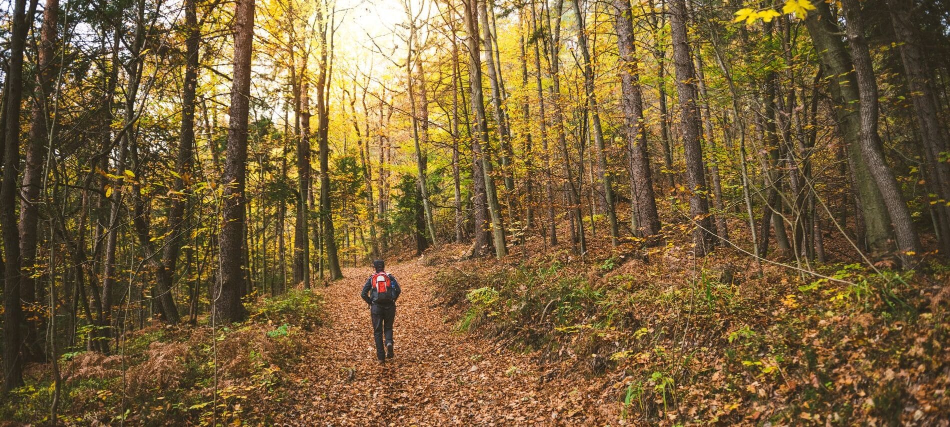
When the temperatures begin to cool and the leaves begin their transformation, we think it’s time to visit the woodlands around us and soak in the sights and sounds of nature. We have picked three of our favorite hiking destinations and will give you options for how strenuous a day you choose. We would love to help you plan the perfect outdoor adventure to the Hudson Valley. Just tell us what kinds of things you like to do, places you’d like to see, and the type of vacation you are looking for, and we will help create a retreat tailored just for you. You can book your room(s) directly online today or contact us anytime for further information.
We have watched so many guests over the years leave with smiles on their faces, hearts happy, bellies full (of Dena’s amazing gourmet breakfasts!) and stories to share. It’s your turn! A trip to the Hudson Valley to enjoy the great outdoors may be the journey lying ahead for you and a loved one or group of friends. Here are our three picks:
Schunemunk Mountain State Park
Schunemunk is the highest mountain in Orange County, where our bed and breakfast is located. With an elevation of 1,664 feet, it can be seen from many different areas. Over the years, it has become a very popular destination for adventurers and nature lovers as hiking trails have been established.
This State Park is the closest to our Inn of the three. Please note that the hikes here are all labeled as strenuous and are longer in length. If you are up for a challenge, these hikes are definitely worth the effort as they offer some incredible views of the Hudson Valley, and many lead to some pretty waterfalls. Make sure you are prepared with water, snacks, and appropriate footgear. These trails begin 2 miles to 8 miles from Caldwell House Bed and Breakfast.
Schunemunk Mountain Loop from Otterkill Road
This trail can be completed as a 4.5 mile out and back with an elevation of 500 feet, or you can do an 8.5-mile loop adding in the Western Ridge Trail for a total elevation of 1500 feet. Another option is to complete an 8.2-mile loop starting on Otterkill Road and then following Jessup, Western Ridge, and Dark Hollow.
Schunemunk Long Path Aqua Trail
This 5.3-mile out-and-back trail is considered moderately challenging. Expect a mile of climbing before the terrain levels out. There are several great views along the way.
Harriman State Park
At almost 50,000 acres, Harriman State Park is the 2nd largest park in the state of New York. It is truly an outdoor enthusiast’s paradise with over 200 miles of hiking trails snaking through the park, along with 31 lakes, countless lakes, and gorgeous vistas. With so many trails to mention, we have picked just a few and listed them from easy to moderate.
Hikes near the Stephen and Betsy Corman AMC Harriman Outdoor Center
Breakneck Pond Loop (Easy)
This is a 2.3-mile loop that will give you a view of Breakneck Pond from every angle. The trail has a green diamond and starts at the boathouse. The trail is primarily flat but be prepared for rocky patches.
Suffern Bear Mountain Trail (Moderate)
This is a 3.6-mile round trip hike, starting at the unmarked trail outside the Mountain Laurel 3 cabin. Take a left at the intersection to join the Suffern-Bear Mountain Trail. Follow the trail for another .8 mile to the Big Hill Shelter, and check out the fabulous views. On a clear day, you can see the Manhattan Skyline. Continue for another mile to the Jackie Jones Mountain FireTower, then return along the way you came.
Hikes near the Palisades Information Center
Hessian Lake Loop (Easy)
This easy stroll begins from Bear Mountain Inn, following the trail clockwise. The loop is 1.5 miles around Hessian Lake and is mostly flat and paved. You will have views of Bear Mountain’s boulder fields. Stop at the Hudson River Dock for the views of the river, Anthony’s Nose, and Bear Mountain Bridge. Then return the way you came.
Bear Mountain (Moderate/Challenging)
The 4-mile hike begins at the Bear Mountain Inn parking lot at the western entrance to the Bear Mountain Bridge. Walk in front of the Inn, bearing left toward the lake. Follow the shore to the west until you encounter the Appalachian Trail. After a half mile, join the Major Welch Trail and follow it, keeping the water tower on your left. Continue on the steep and rocky trail until you reach the Perkins Tower; the Welch Trail ends, but continue on the white Appalachian Trail. Stay on this trail until it joins with the Suffern Bear Trail. Follow the combined trail until the AT separates out and finishes at the Lake; you will see a sign pointing you back to the parking lot.
Black Rock Forest
Linked to the Storm King State Park by the Stillman Trail, the Black Rock Forest has some of the higher elevations (for the best views) in the area. If you are hiking in the fall, make sure you check that it is not closed for hunters.
Black Rock Mountain and Sphagnum Pond Loop from Mine Hill Road
This hike is 7 miles long and just 5 miles away from the Caldwell House Bed and Breakfast. It is considered a moderate workout, with some clambering over rocks in the beginning.
Whitehorse, Honey, Rattlesnake and Pines Loop
The Whitehorse, Honey, Rattlesnake and Pines Loop is considered moderately challenging and is about 7 miles long. You will go up four named peaks (Whitehorse Mountain, Honey Hill, Rattlesnake Hill, and Hill of Pines). You will also pass by some water.
Before and After Your Hike
So, are you ready to enjoy one of our favorite hiking destinations in the Hudson Valley? There are so many more choices than just these; make sure you chat with us for other options. Come mid-week or over the weekend – we would love to be your hosts for a hiking getaway this spring, summer, or autumn. After your efforts, make sure you plan for a grand meal at one of our recommended restaurants. If you want to enjoy a more civilized version of the Hudson Valley, there are many historical sites and museums.
We are happy to update you on all of our local events and festivals; just ask! Make sure you plan your getaway early so you are not disappointed. We can’t wait to share our corner of the Hudson Valley with you!